Topographic survey for mining using drones


Mining is an industry that consider one of the richest industries after oil and gas sector. Therefore, countries explore this industry to generate revenue from it. There are many valuable minerals that is located underground. In order to get these minerals, government set different rules and regulation to prevent any consequences might occur in this process. Surveying is one of the mandatory tasks to be done before digging the ground, but what is surveying and what is the different of ground and topographic survey?
You may possibly have seen many surveyors on your way to work standing in front of telescopic machines in different elevation and targeting another person on a height staff being held by their apprentice. This is what ground surveying look like, which is completely different from aerial surveying or “Topographic Survey”.
Topographic surveys generally used to define both natural and human made structures in the area. This helps engineers to plan their design around natural obstructions and make sure their plan fits the condition of the land. A topographic survey identifies trees, creeks, and areas of sloping land. It also identifies barriers, fencing, building, and landscaping elements. Both aerial and ground field methods can be used to conduct this type of survey. However, topographic survey shows the height, depth, size and location of any manmade or natural features on a given piece of land, as well as the changes or contours in elevation throughout the plot.
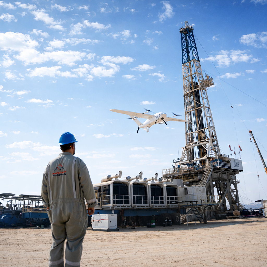
Nowadays, the technology of 4th industrial revolution makes this task much easier to everyone. This survey can be done by using Unmanned aerial vehicle (UAV), widely known as “Drone”. This technology offers enormous potential to GIS professionals. Topographic survey can be done by using UAV with same quality as the highly accurate measurements collected by conventional way, but timing is the big difference. Nevertheless, it’s significantly reducing the cost of the site survey and workload of consultants in the site.
Aerial Mining Survey involves mapping and measuring the minerals and other materials below the ground surface. Via drones, specialists can calculate and monitor stockpiles using appropriate sensors and data tools. Aerial survey can determine the location, dimensions and characteristics of the mineral deposits, adjoining rocks, and the surface. In addition, estimating the mineral availability, extraction and production potential and the valuation of the mineral deposits, to determine the viability and profitability of the mines.
The photogrammetry showing above is a result of combining thousands of pictures captured by drone, where every picture has a refer points in the ground. There is a photogrammetry software powered by artificial intelligence (AI) model that can generate geo-referenced Orth-mosaics with elevation to get very accurate 3D maps. Moreover, these maps can give specialists valued data right from their offices such as distance from point A to B, volume measurements of any stockpile, and much more.
What are the benefits of using UAV for topographic survey?
- Unlike satellite imagery or manned aircraft, UAV or drone can fly much lower altitude that leads to get high resolution, and high accurate data. It’s also can’t get effected by atmospheric conditions like cloud cover.
- The new technology definitely reduces field time and survey costs. This technique requires less manpower due to having an autonomous flight feature.
- No longer need to get numerous GCPs to have accurate map because drone work with PPK geo-tagging technique. This makes surveying task much easier and faster.
- Unlike using total station in the conventional way that only measure individual points, the UAV can survey large area with thousands of measurements in just one flight. These data can be provided in different formats (DTM, Ortho-mosaic, DSM, point cloud, etc).
- Mapping any area even if it is inaccessible. With aerial surveying, there are no longer concern to unreachable areas. This is also going to highly reduce the risk of unsafe steep slopes or harsh terrain.
- Get live video from field. It is always mattered to see actual live streaming video of the area you plan to explore.
Conclusion
Since mining industry consider as the largest industries after oil and gas, investing on smart and new technology is the right option. UAV going to add a significant value to the mining sector. It can simplify surveying task and collect thousands of high accurate data in small period of time. That conclude a faster, wiser, and better decisions made by professionals.
It’s the time to improve your firm.